


-35%

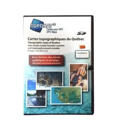
Trak Maps Maps and software Topographic Map Québec 7.0
Original price was: $149.95.$96.99Current price is: $96.99.
- Quality products, fair prices.
- Worry-Free Shopping with Safe Payments
- Safe Payments for a Better Shopping Experience
- Online assistance, always at your service.

- Model: PR417.
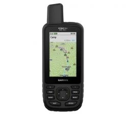
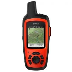
- For Garmin GPS.
- TOPO Quebec provides you with detailed topographic maps including Crown Land, ecoforestry layer, the National Trail in Quebec from Rando Québec, numerous trails, forest and wilderness areas, water bodies, provincial, regional parks and zecs, power lines and railroad tracks as well as major and secondary roads.
- Perfect for hiking, hunting, geocaching, canoeing, kayaking and more.
Include:
- Crown land.
- Ecoforestry layer.
- National Trail in Quebec from Rando Québec.
- Routable road network.
- Recreative territories.
- Aboriginal lands.
- Zecs and fishing zones.
- Routable forestry roads.
- Topographic data including mountains, hills, valleys, lakes, rivers, streams, wetlands.
- Hiking trails.
- Paddling routes.
- Detailed shorelines of lakes and rivers.
- National and provincial parks, wildlife reserves.
- ATV and snowmobile trails.
- Outfitter & trapper camps, welcome centres, forest shelters.
- Boat launch ramps.
- Cellular towers.
- Buildings, pylons, electric lines, bridges, dams, railroads, other reference points and landmarks.
Be the first to review “Trak Maps Maps and software Topographic Map Québec 7.0”
Related products
-28%
Original price was: $99.95.$71.96Current price is: $71.96.
-76%
Original price was: $412.00.$99.99Current price is: $99.99.
-18%

Original price was: $99.95.$81.96Current price is: $81.96.
-23%
Original price was: $64.95.$50.01Current price is: $50.01.
-83%
Original price was: $589.95.$99.99Current price is: $99.99.
-48%

Original price was: $189.95.$97.99Current price is: $97.99.
-32%
Original price was: $69.95.$47.57Current price is: $47.57.
-28%
Original price was: $38.95.$28.04Current price is: $28.04.
Reviews
There are no reviews yet.